Embodied Intelligence & Robotics
High-stability IMUs and dynamic error compensation algorithms for humanoid robots, quadruped robots, and industrial AGV/AMRs — enabling precise attitude sensing and autonomous navigation.
- IMU cost reduced by over 60% compared to tactical-grade units
- Attitude update rate ≥200Hz
- Sub-millimeter operation accuracy
- Precise autonomous navigation for AGVs in GNSS-denied indoor environments

Low-Altitude Economy Navigation
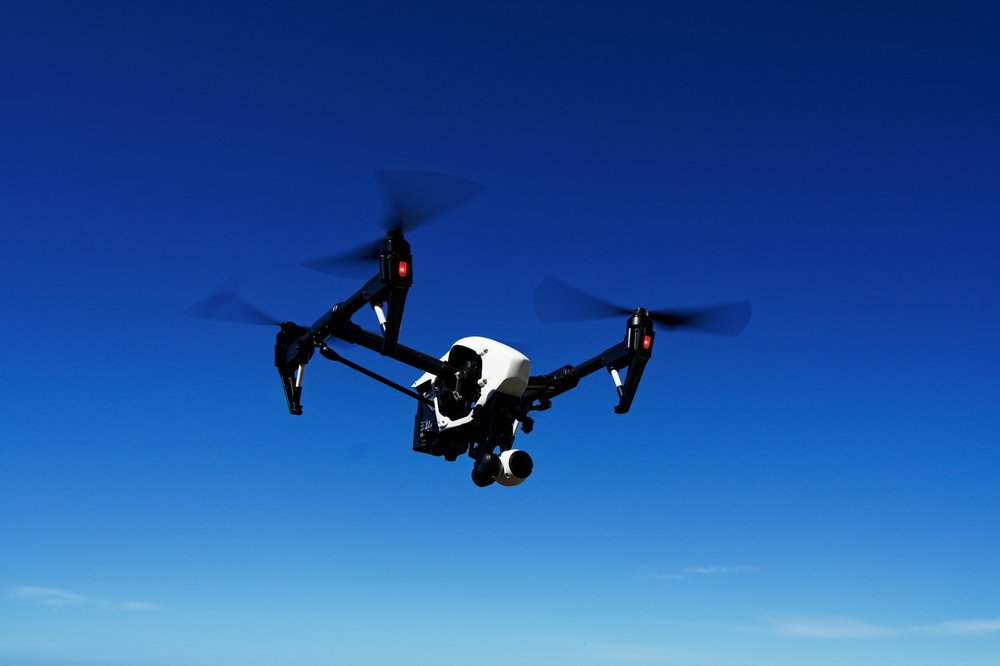
IMU + vision + barometric altimeter + GNSS fusion for precise navigation of eVTOL and industrial UAVs in urban and indoor GNSS-limited environments.
For eVTOL, industrial UAVs, logistics drones, and smart agriculture, Navcore fuses vision, IMU, and LiDAR data using factor graph algorithms and visual loop closure detection to improve long-term navigation accuracy.
- Positioning accuracy (GNSS available): <0.05m
- Positioning accuracy (GNSS denied): <1m
Smart Mining Underground Positioning
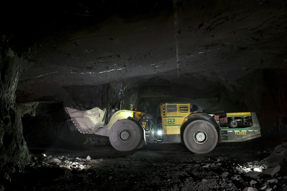
IMU + odometer + radar fusion for GNSS-denied underground mining environments — continuous positioning for ≥8 hours, supporting miner safety and autonomous mining operations.
Underground mining environments are enclosed, with severe dust and gas interference, and GNSS is completely unavailable. Navcore adopts IMU, odometer, and radar multi-sensor fusion, combined with vision, UWB, and IMU multi-source fusion and a safety warning system, enabling real-time tracking and monitoring of miners and equipment.
- Positioning accuracy: <1% of travel distance
- Continuous positioning time: ≥8 hours

Commercial Aerospace Inertial Navigation
MEMS tactical-grade IMU (bias <1°/h) with multi-redundant inertial navigation architecture — at only 1/5 to 1/3 the cost of fiber-optic gyroscopes, meeting the extreme SWaP requirements of commercial satellites and launch vehicles.
For commercial satellites and launch vehicles, Navcore uses its self-developed MEMS tactical-grade chip (bias <1°/h) as the core, with radiation-hardened design and vacuum adaptability optimization. The solution adopts multi-IMU redundancy + star sensor + GNSS integrated navigation, enabling rapid attitude establishment after satellite-vehicle separation and continuous tactical-grade attitude and orbit control data output in orbit.
- Cost: only 20%–30% of traditional solutions
- Delivery lead time: 4–8 weeks
- Fully independent and controllable supply chain